megamorphosis
Megamorphis explores the tension between natural landscapes and rapidly intensifying urban development, using real planning data and mapping from the Tweed region as its structural core. Layering hand-drawn markings with digital overlays, the work echoes aerial cartography, part organism, part blueprint - revealing expansion, erasure, and the introduced line where New South Wales and Queensland meet. Through repetition, texture, and mirrored density, the image suggests a megalopolis multiplying beyond intention, overwriting place, while crossing boundaries both geographic and imagined.
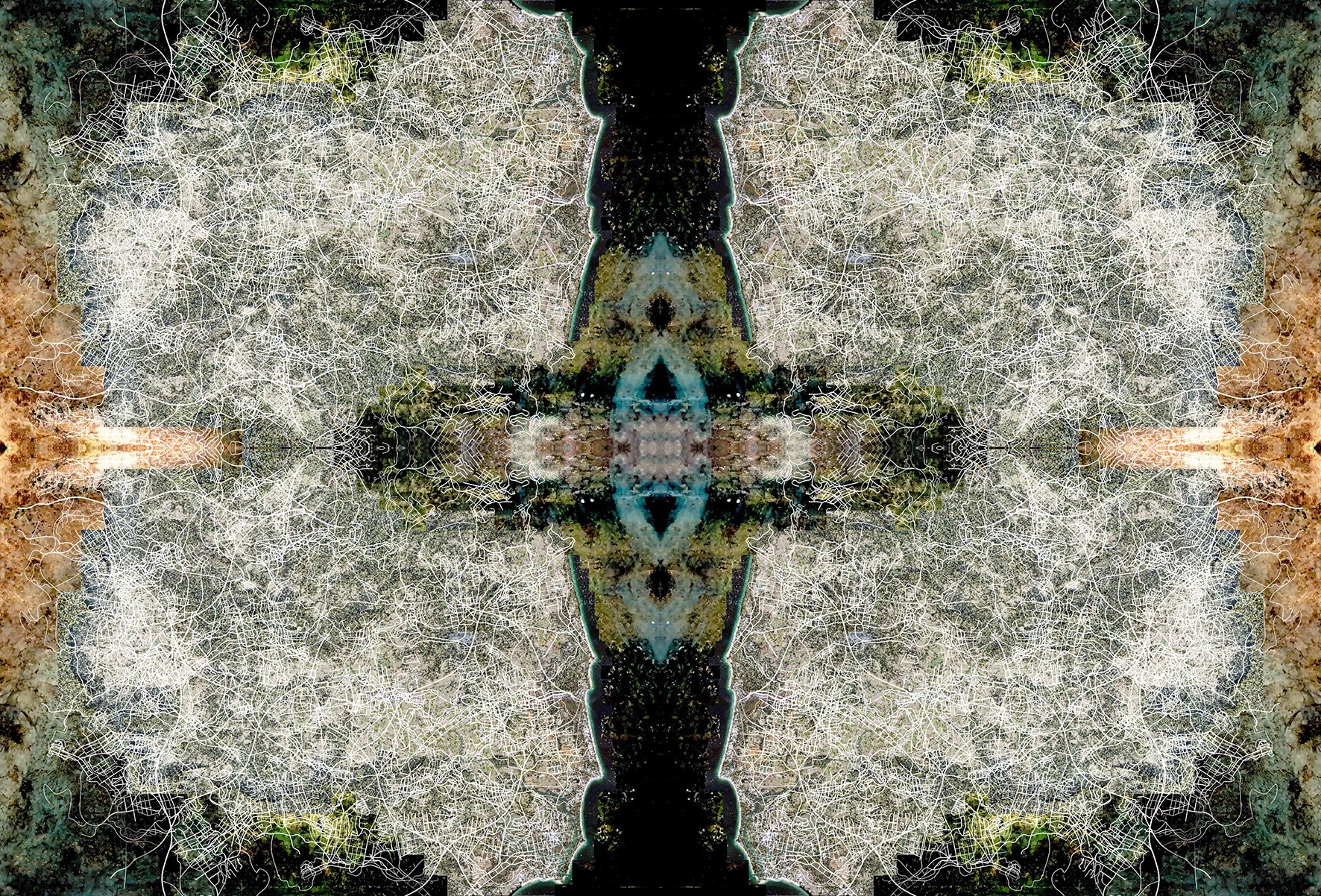
Megamorphis 2023
Digital illustration, high-resolution scan of ink-dissolved National Geographic page and Argis Maps
35 cm x 24 cm